Climate & Environmental Risk Toolhub
Discover 80+ tools for climate risk assessment, biodiversity monitoring, and environmental analysis — from global open-data platforms to commercial solutions.
Our Tools
73 tools found
Risk Analysis
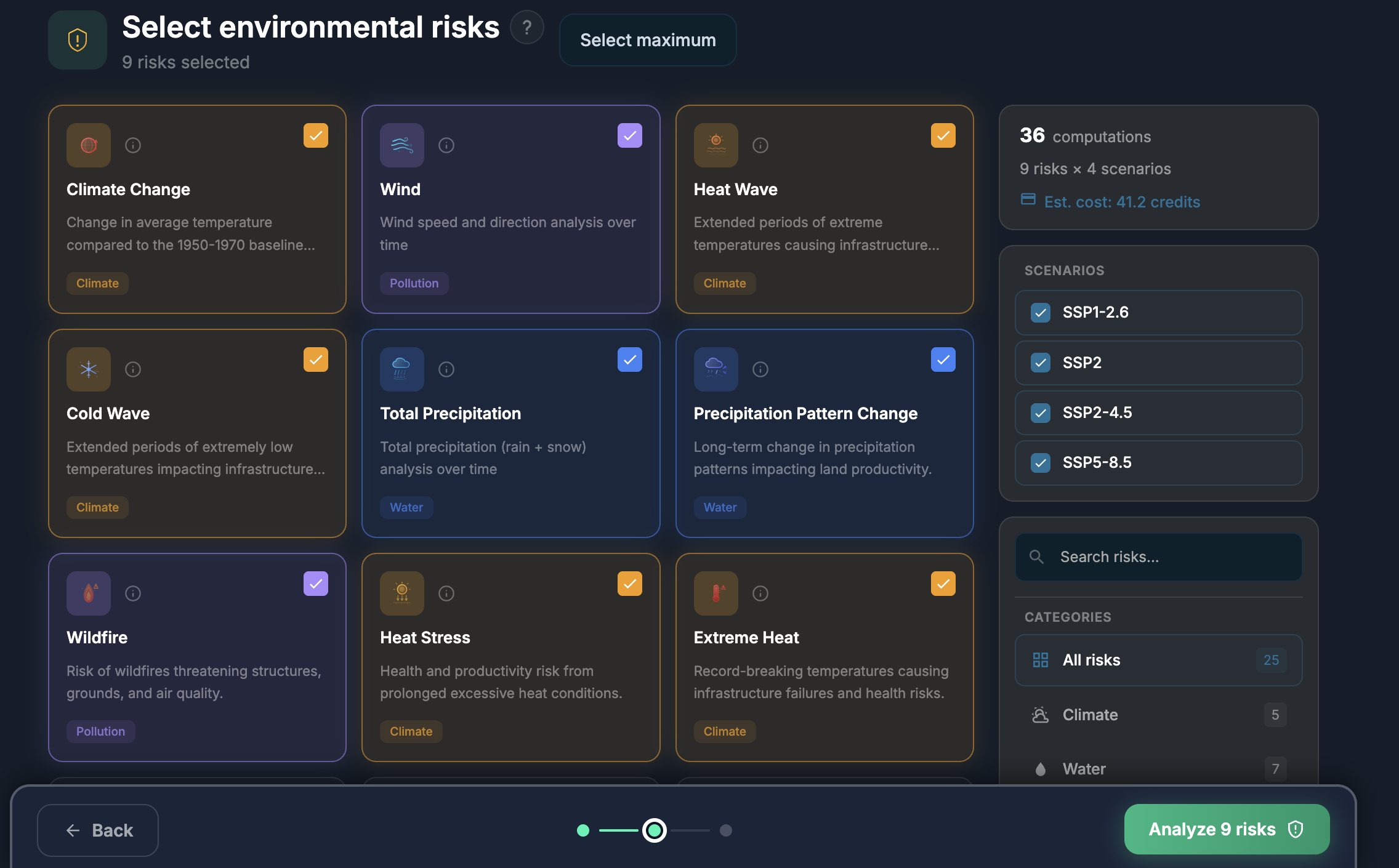
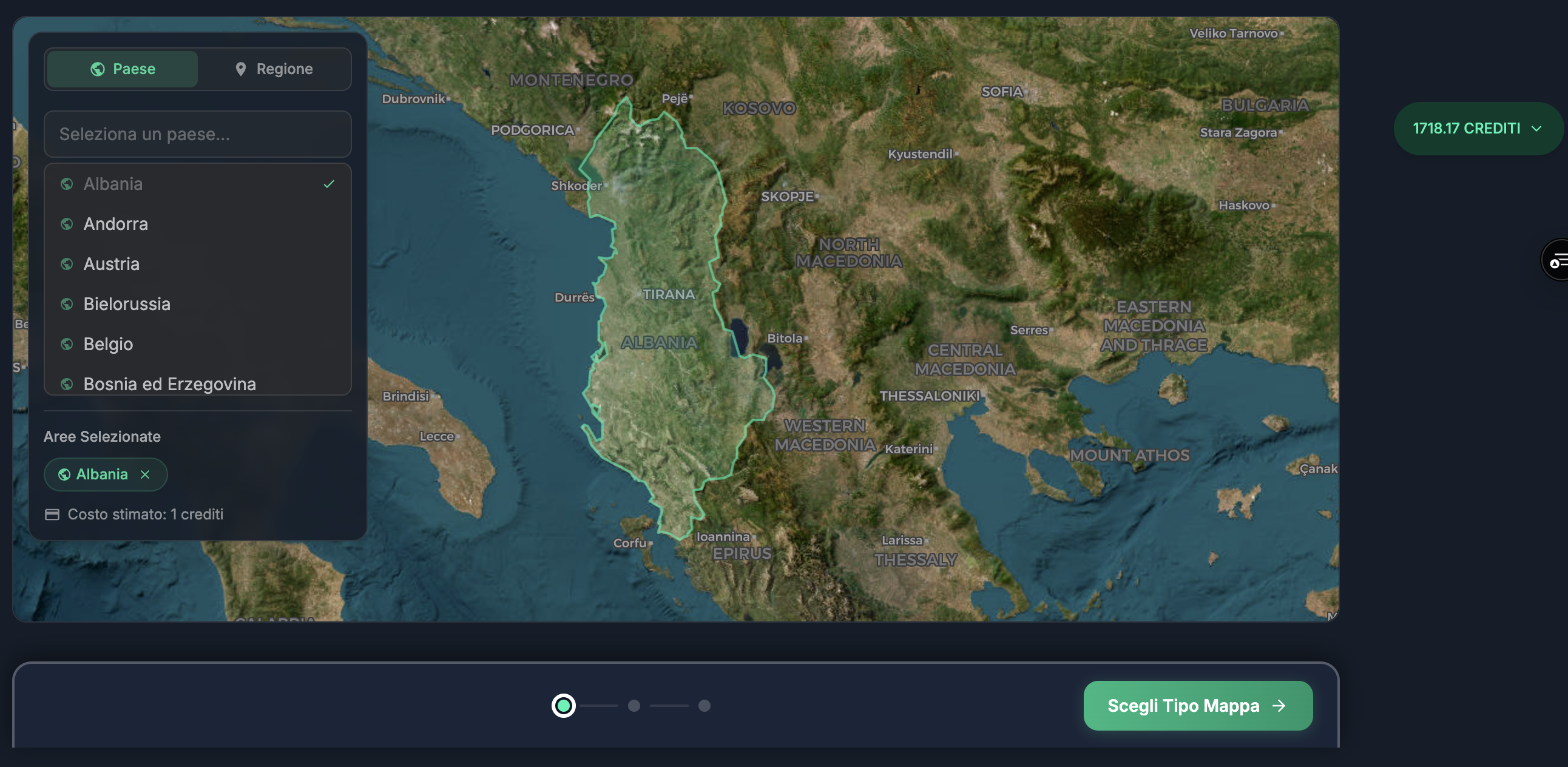
ilovenaturaAI-powered climate and environmental risk analysis for any site
Climate RiskGlobalFreemium
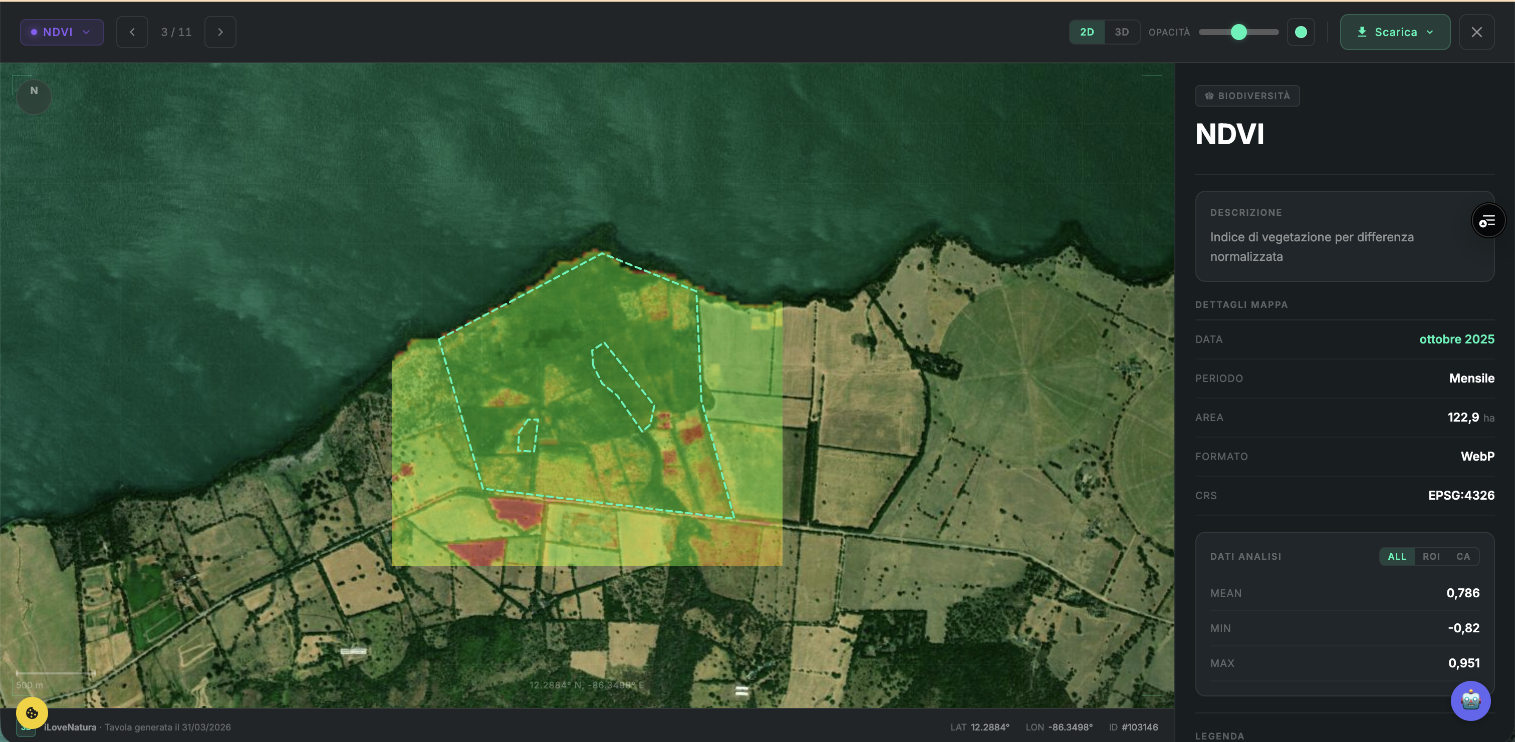
Map Generator
ilovenaturaGenerate biodiversity, land cover, and environmental maps from satellite data
GeospatialGlobalFreemium
Satellite Comparison
ilovenaturaCompare satellite imagery over different time periods to detect changes
GeospatialGlobalFreemium
Nat
Nature Observation AI
ilovenaturaAI-powered species identification from photos and audio recordings
BiodiversityGlobalFreemium
Cli
Climate Analysis
ilovenaturaHistorical and projected climate data analysis for any location
Climate RiskGlobalFreemium
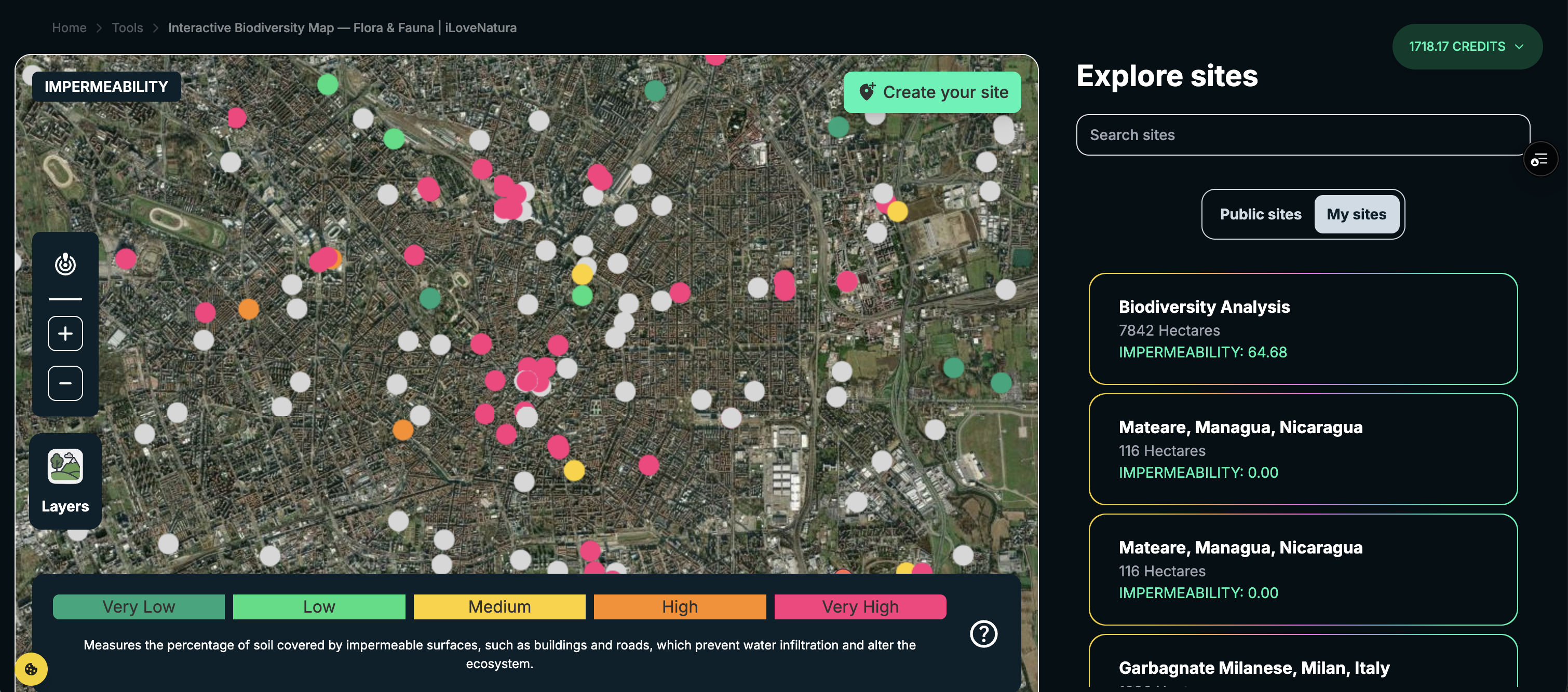
Interactive Map
ilovenaturaInteractive environmental monitoring map with multiple data layers
GeospatialGlobalFreemium
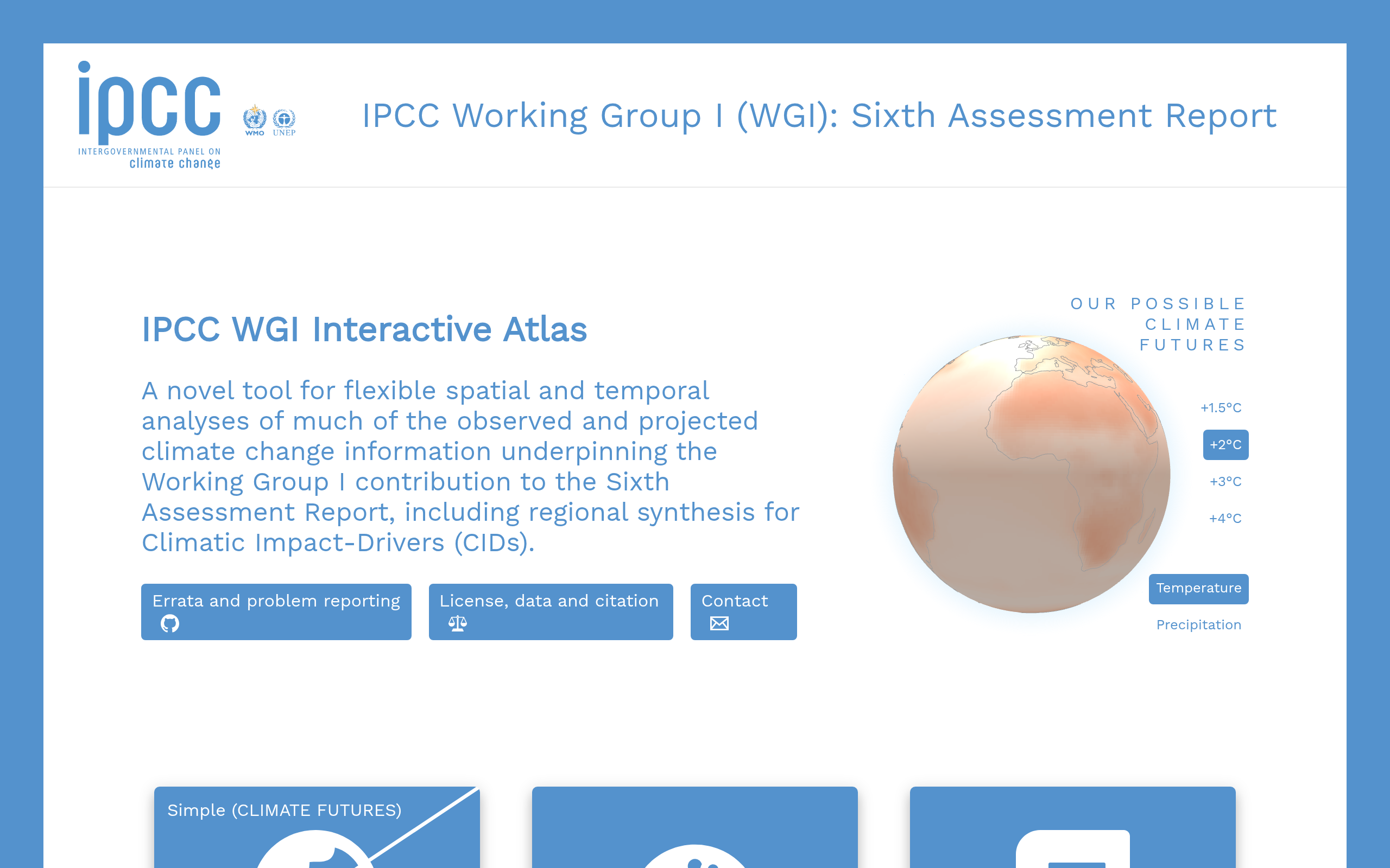
IPCC Interactive Atlas
IPCC / BSCAR6 regional climate projections with 20+ climatic impact drivers across CMIP6 and CORDEX datasets
Climate RiskGlobalFree
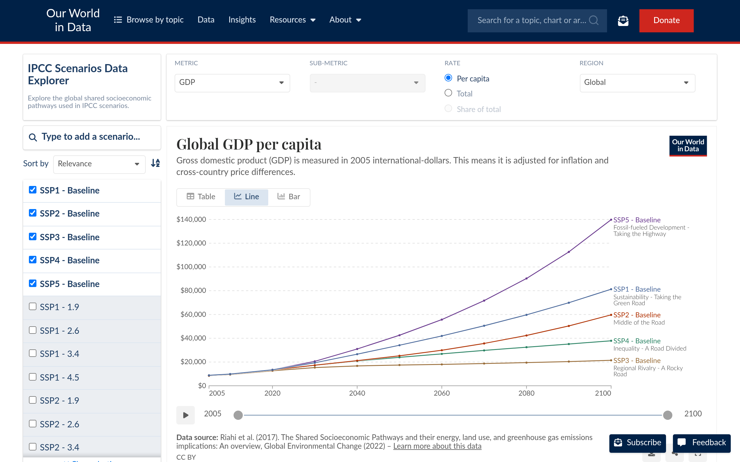
IPCC Scenarios Data Explorer
Our World in DataInteractive SSP/RCP scenario explorer for socio-economic, financial and climate parameters from 2005 to 2100
Climate RiskGlobalFree
Copernicus Climate Data Store (C3S)
ECMWF / CopernicusERA5 reanalysis, CMIP6 projections, seasonal forecasts and petabytes of climate data via API
Climate RiskGlobalFree
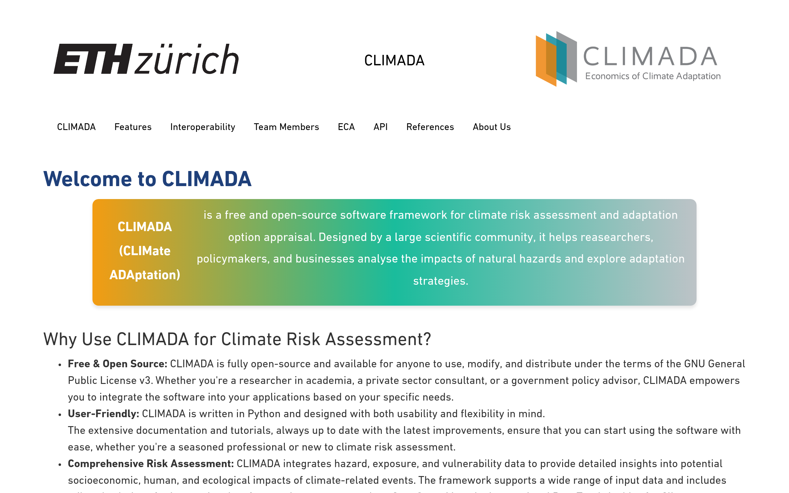
CLIMADA
ETH ZurichOpen-source Python framework for probabilistic climate risk assessment covering hazard, exposure and vulnerability
Climate RiskGlobalOpen Source
OS-Climate Physrisk
Linux FoundationOpen-source physical climate risk calculation engine for portfolio-level hazard assessment
Climate RiskGlobalOpen Source
World Bank CMIP5 Climate Change Viewer
World BankClimate projections for temperature and precipitation from CMIP5 models
Climate RiskGlobalFree
ThinkHazard!
World Bank / GFDRRCountry/subnational hazard profiles for flood, drought, earthquake, landslide, wildfire and cyclone
Climate RiskGlobalFree
KNMI Climate Scenarios
KNMIDutch national climate projections (KNMI 23 scenarios) for temperature, precipitation and sea level
Climate RiskNetherlandsEuropeFree
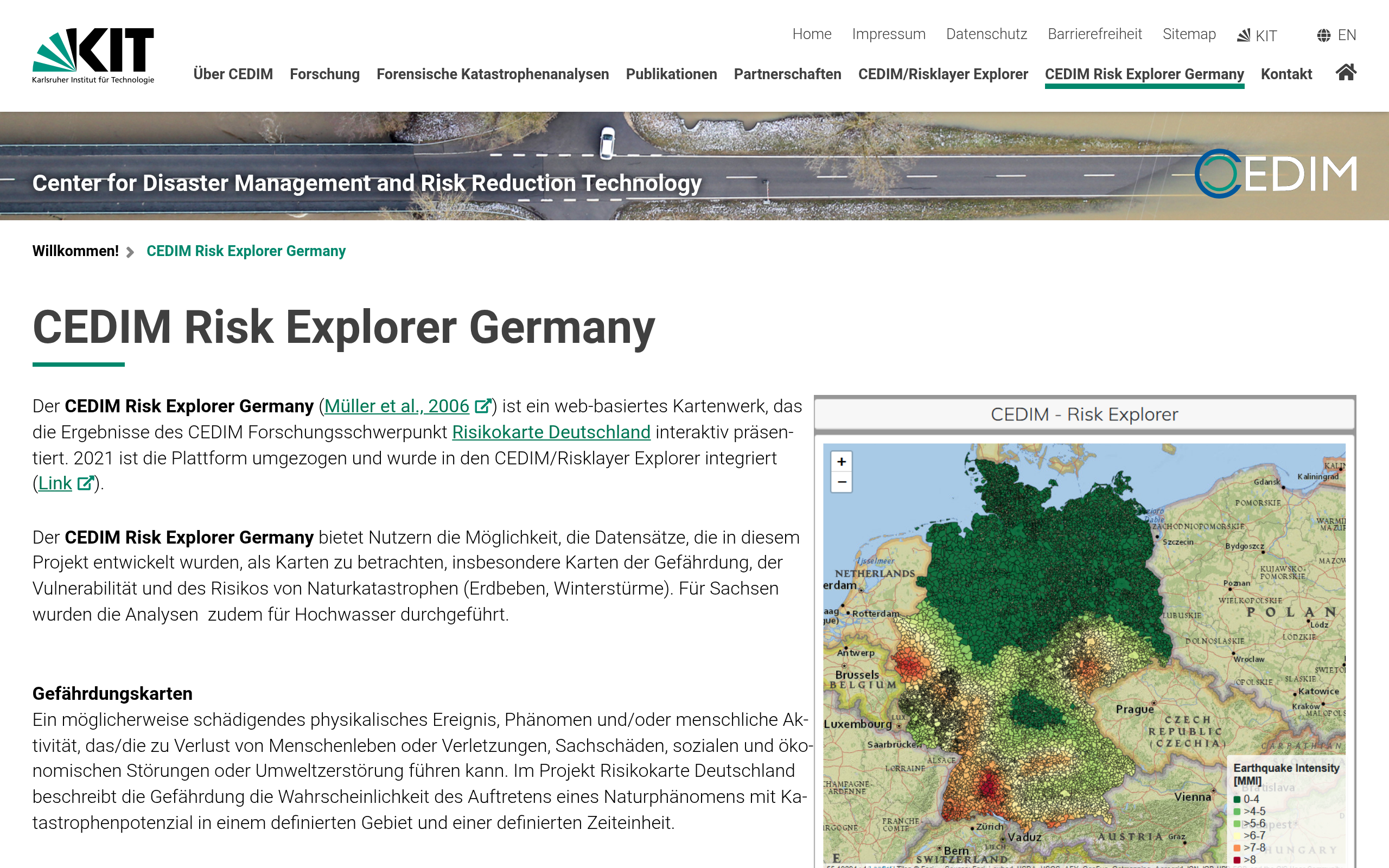
CEDIM Risk Explorer Germany
KITMaps showing risk to Germany from 50, 100 and 500 year natural hazard events
Climate RiskGermanyEuropeFree
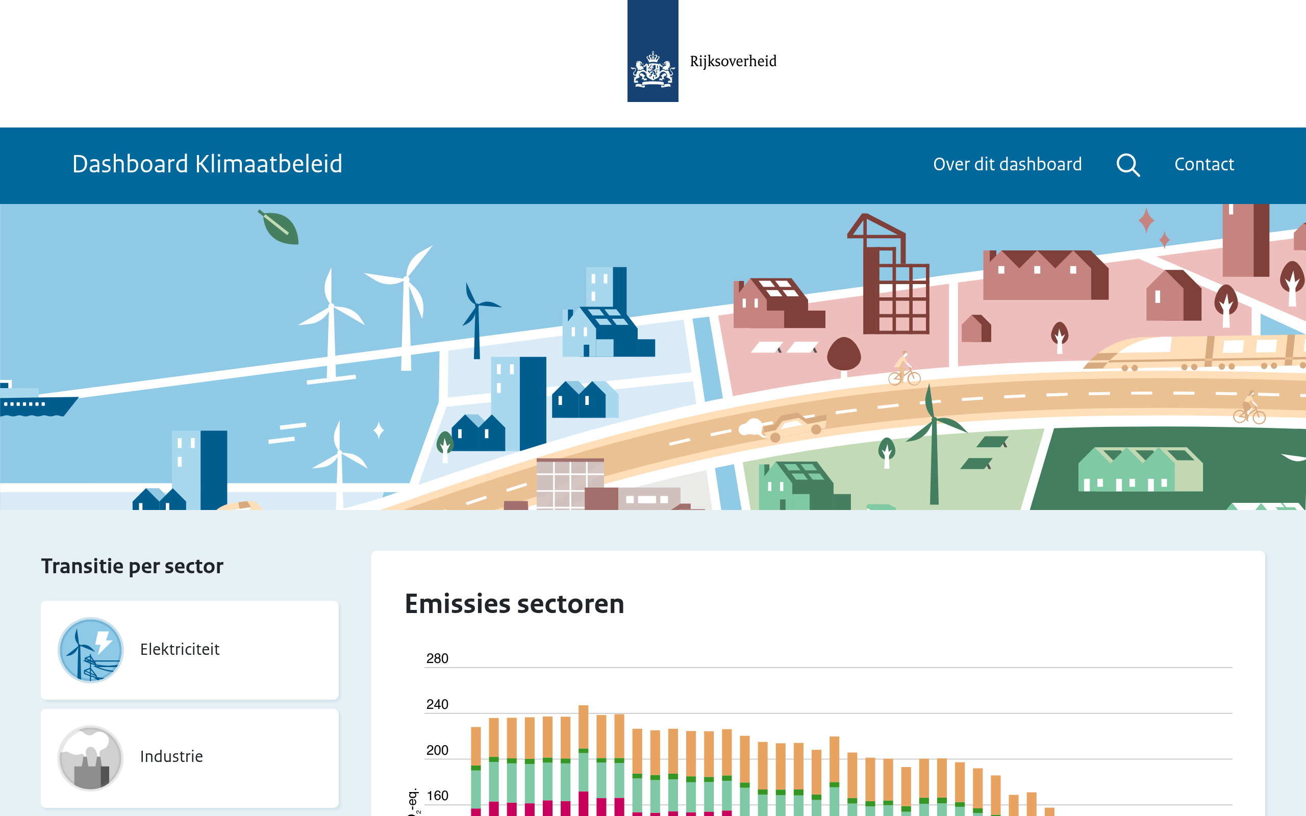
Dashboard Klimaatbeleid
Netherlands GovDashboard showing progress on national climate policy targets and greenhouse gas emissions in the Netherlands
Climate RiskNetherlandsFree
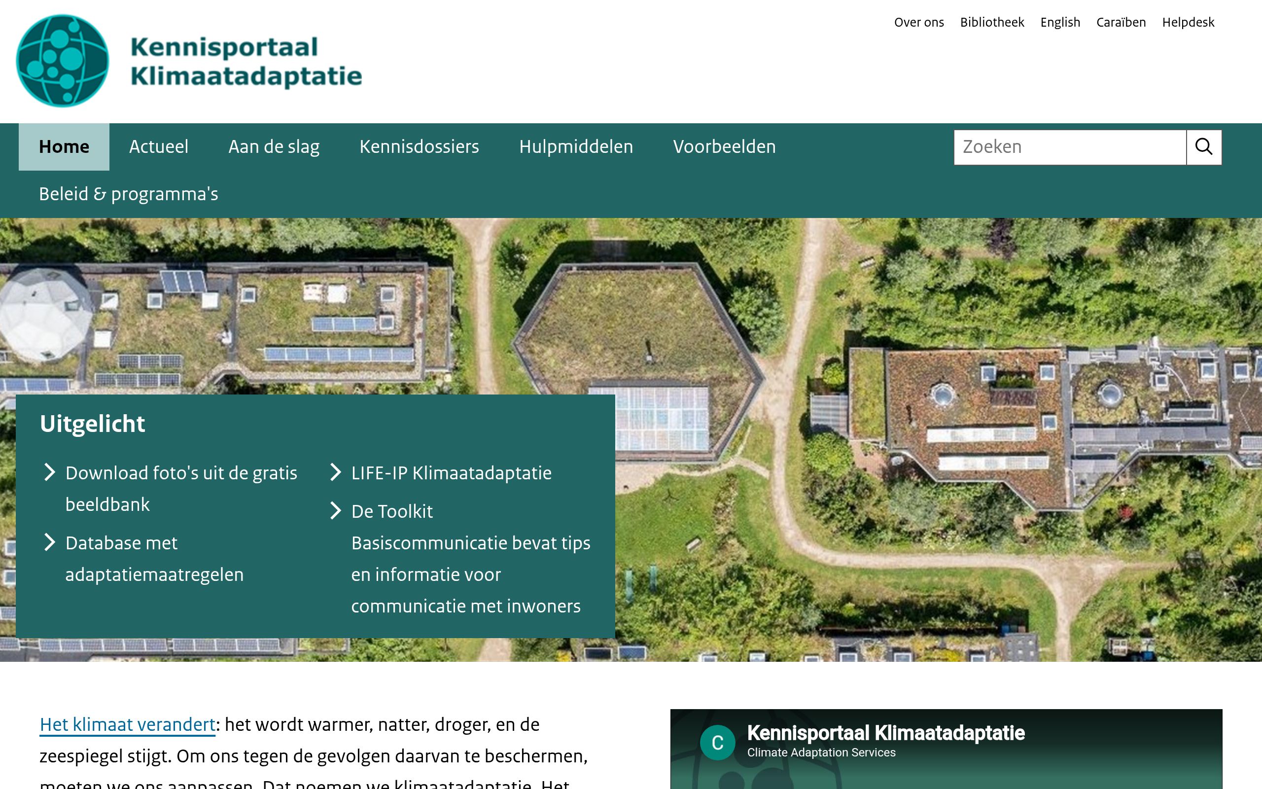
Kennisportaal Klimaatadaptatie: National
Netherlands GovInfo on the national climate strategy (NAS), delta programme (DPRA) and freshwater delta programme (DPZW)
Climate RiskNetherlandsFree
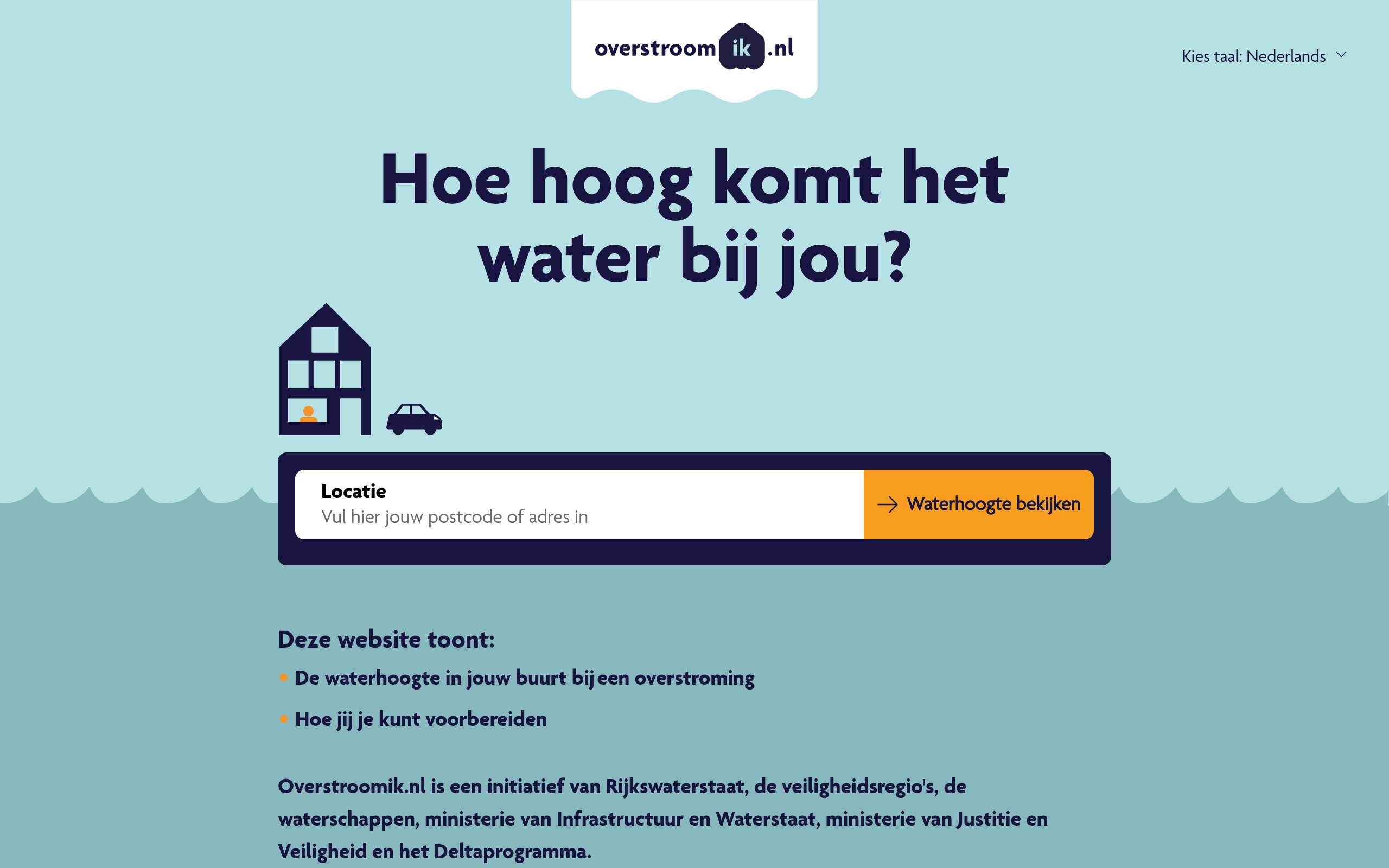
Overstroom ik
Netherlands GovMaximum flood risk level per address in the Netherlands with impacts and preparation steps
Climate RiskNetherlandsFree
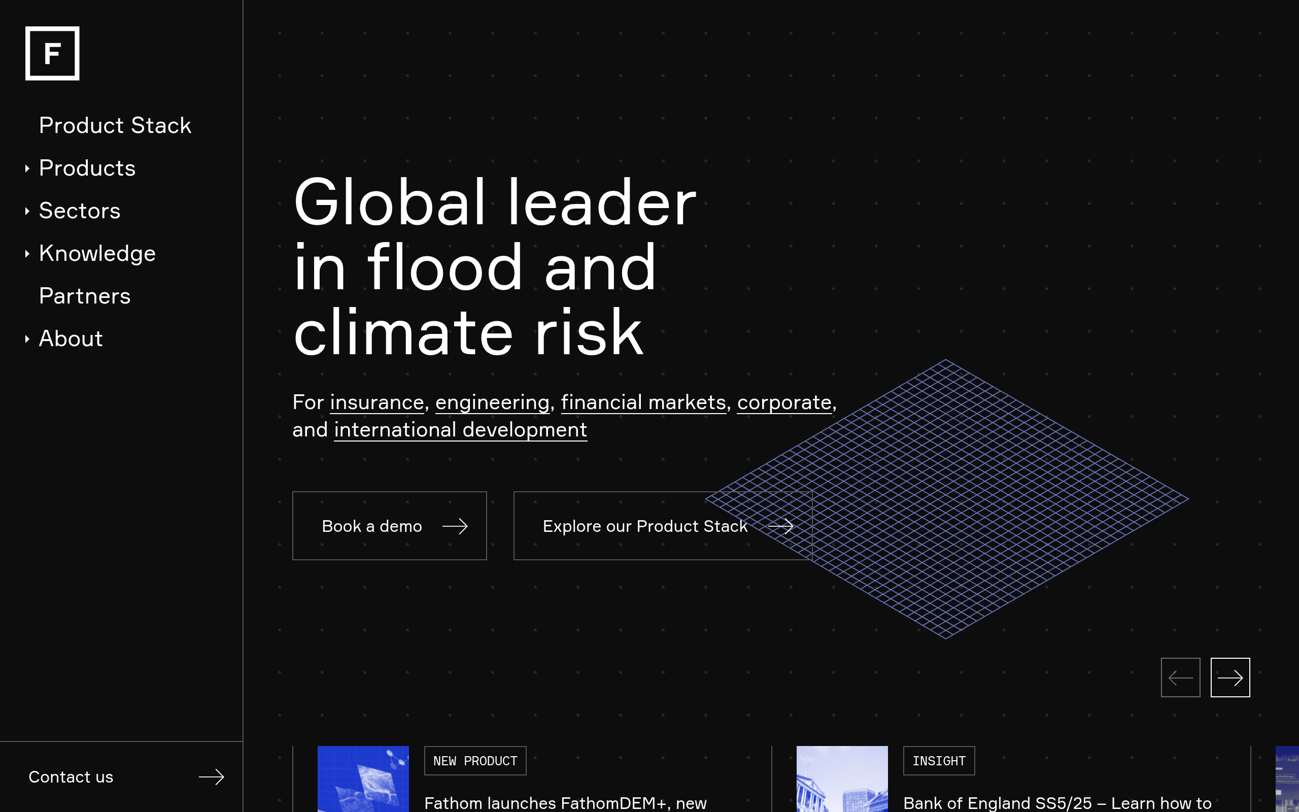
Fathom Global Flood Map
Fathom30m-resolution global flood hazard data covering pluvial, fluvial and coastal flooding
Climate RiskGlobalCommercial
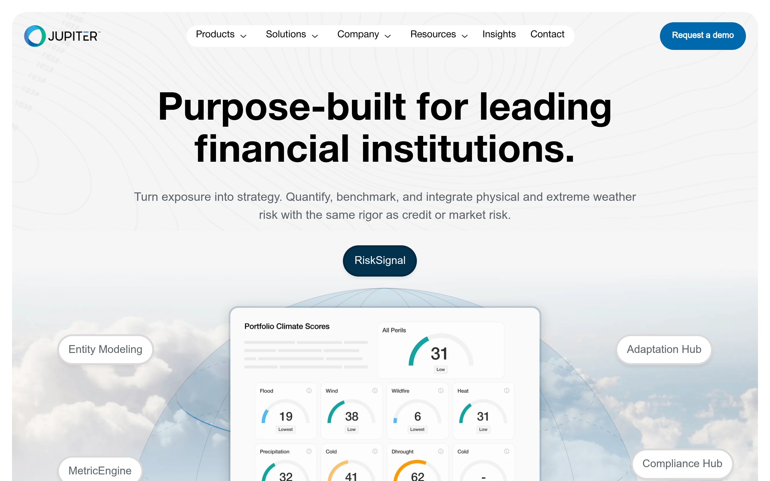
Jupiter ClimateScore Global
Jupiter IntelligenceAsset-level physical climate risk using CMIP6 + ERA5 + ML with 9 hazards and projections to 2100
Climate RiskGlobalCommercial
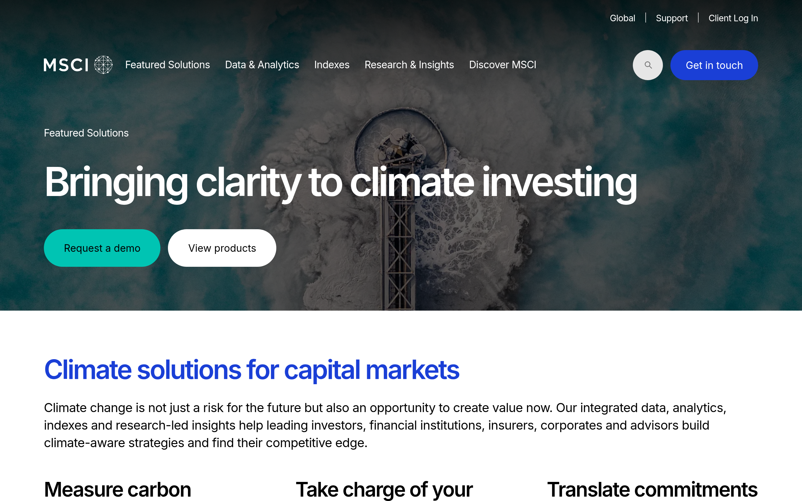
MSCI Climate Lab
MSCIPortfolio-level physical and transition risk analytics with 2,250+ climate metrics for 20,000 issuers
Climate RiskGlobalCommercial
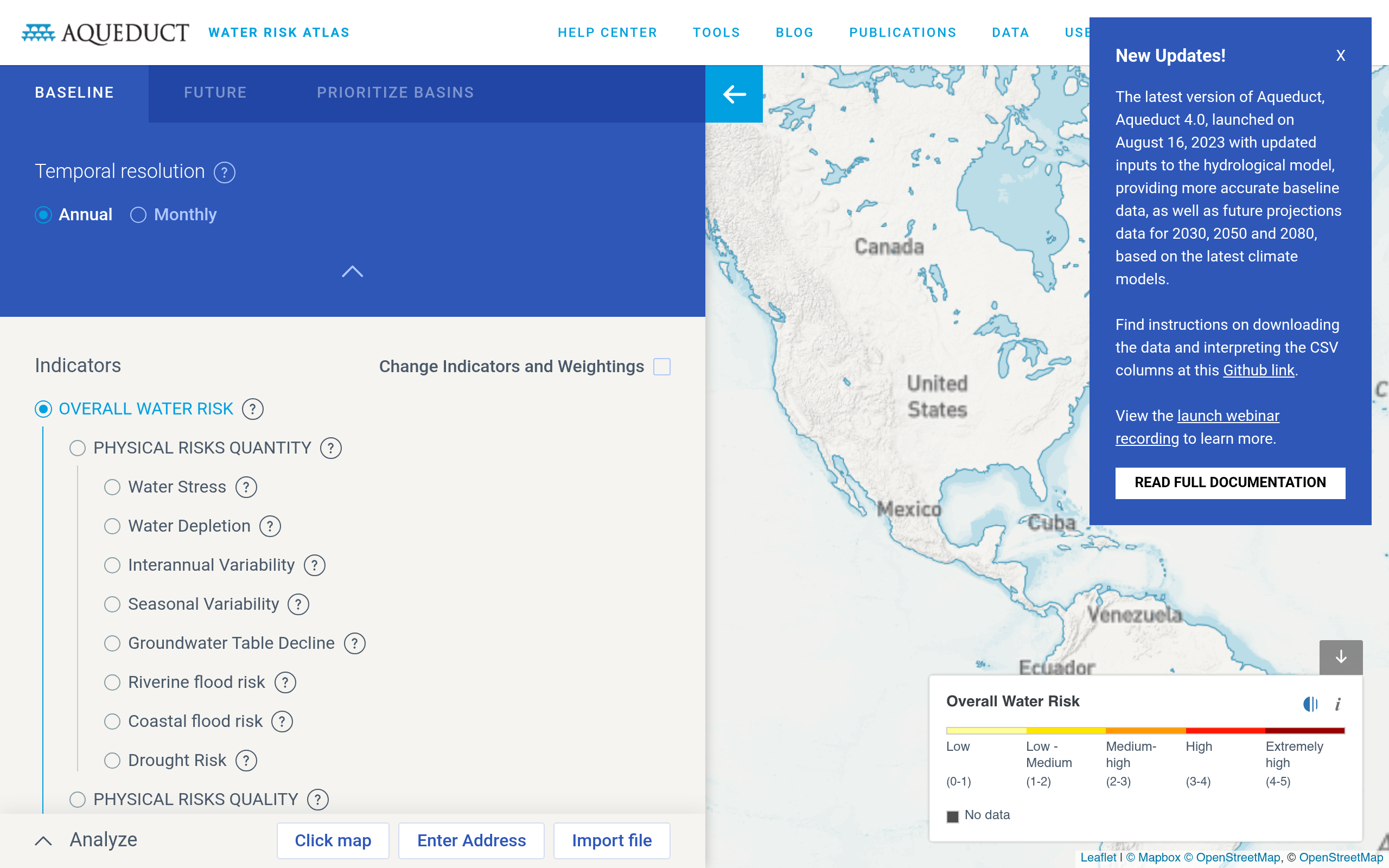
Aqueduct Water Risk Atlas
WRIGlobal water stress mapping with 13 risk indicators and future projections for 2030, 2050, 2080
Water RiskGlobalFree
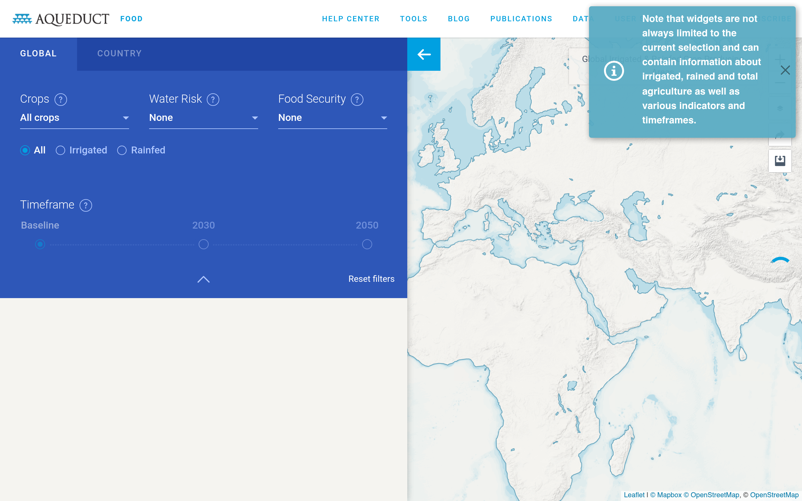
Aqueduct Food
WRIWater risk specifically for agricultural commodity supply chains
Water RiskGlobalFree
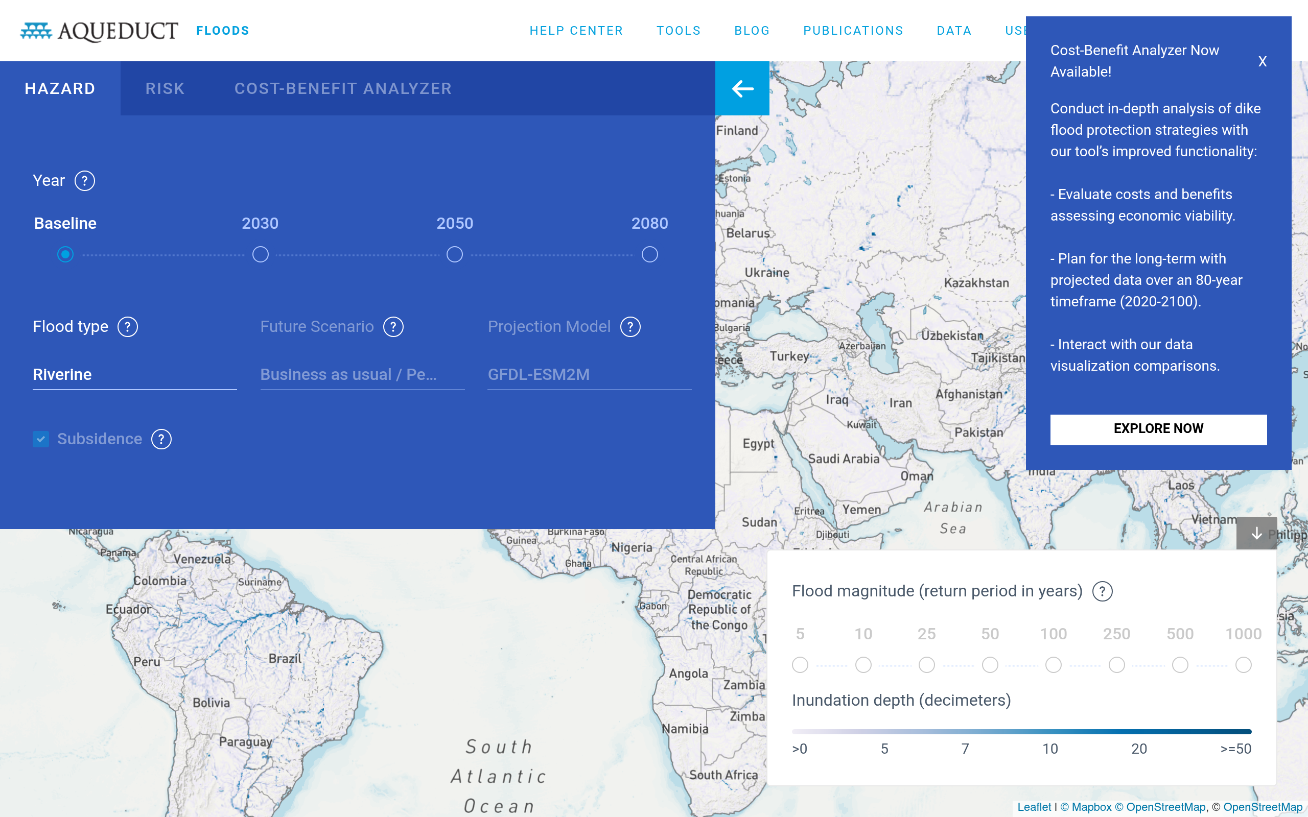
Aqueduct Floods
WRIRiverine and coastal flood risk mapping at sub-watershed level
Water RiskGlobalFree
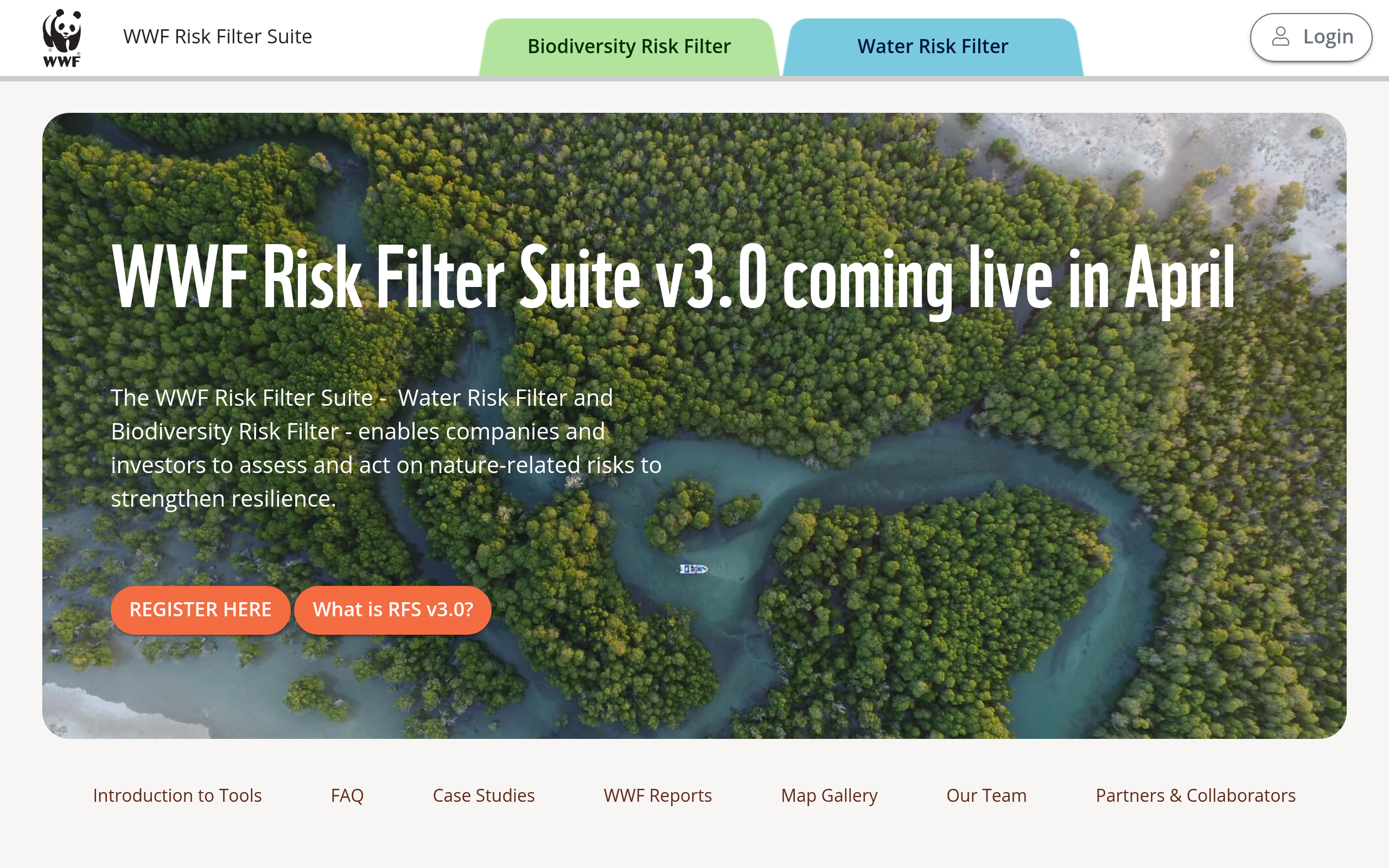
Water Risk Filter
WWFCountry and basin-level water risk assessment for business supply chains and investments
Water RiskGlobalFree
Water Footprint Assessment Tool
Water Footprint NetworkAssessment of regional blue, green and grey water footprint of different crops and raw materials
Water RiskGlobalFree
Global Water Tool
WBCSDTool for analyzing water risks in business operations and supply chains
Water RiskGlobalFree
European Drought Observatory (EDO)
JRCLive monitoring of drought and precipitation across Europe with satellite-based indicators
Water RiskEuropeFree
Droughtwatch
EU / JRCEU live monitoring data on drought and drought-related climate indices
Water RiskEuropeFree
GRACE Groundwater Tool
NASA / JPLSatellite-derived groundwater storage anomaly maps from GRACE/GRACE-FO missions tracking aquifer depletion
Water RiskGlobalFree
AQUASTAT
FAOGlobal database of water resources, use and agricultural water management by country
Water RiskGlobalFree
IBAT (Integrated Biodiversity Assessment Tool)
IUCN / BirdLife / UNEP-WCMCCombines IUCN Red List, WDPA and Key Biodiversity Areas for site screening and compliance reports
BiodiversityGlobalFreemium
ENCORE
Global Canopy / UNEP FIWeb tool for banks and investors to assess natural capital dependencies and impacts by sector
BiodiversityGlobalFree
Biodiversity Risk Filter
WWFAssess species and ecosystem risks for business locations and supply chains
BiodiversityGlobalFree
UN Biodiversity Lab
UNDP / UNEP-WCMCGeospatial data platform integrating 100+ authoritative biodiversity datasets for decision-making
BiodiversityGlobalFree
Protected Planet / WDPA
UNEP-WCMC / IUCNWorld Database on Protected Areas with 200,000+ polygons of terrestrial and marine protected areas
BiodiversityGlobalFree
GBIF
GBIF Secretariat1.6 billion+ species occurrence records from museums, citizen science and surveys. Open access
BiodiversityGlobalFree
IUCN Red List
IUCNGlobal conservation status of 157,000+ species with API access
BiodiversityGlobalFree
InVEST
Stanford Natural Capital ProjectOpen-source models mapping and valuing ecosystem services: water purification, carbon storage, pollination
BiodiversityGlobalOpen Source
UNEP Strata
UNEPClimate and nature risk and vulnerability mappings from UNEP
BiodiversityGlobalEuropeFree

GAEZ v5 (Global Agro-Ecological Zones)
FAOCrop suitability, yield potential and agriculture risk for 280+ crop types under current and future climate
AgricultureGlobalFree
Global Forest Watch
WRIReal-time deforestation alerts, fire alerts, land use trends and carbon stock estimates from satellite imagery
AgricultureGlobalFree
AgriAdapt
AgriAdapt ProjectDecision support for climate adaptation in European agriculture with crop-specific risk guidance
AgricultureEuropeFree
ABC-Map
ABC-MapTool that assesses the environmental impact of land use change in the agrifood sector
AgricultureGlobalEuropeFree
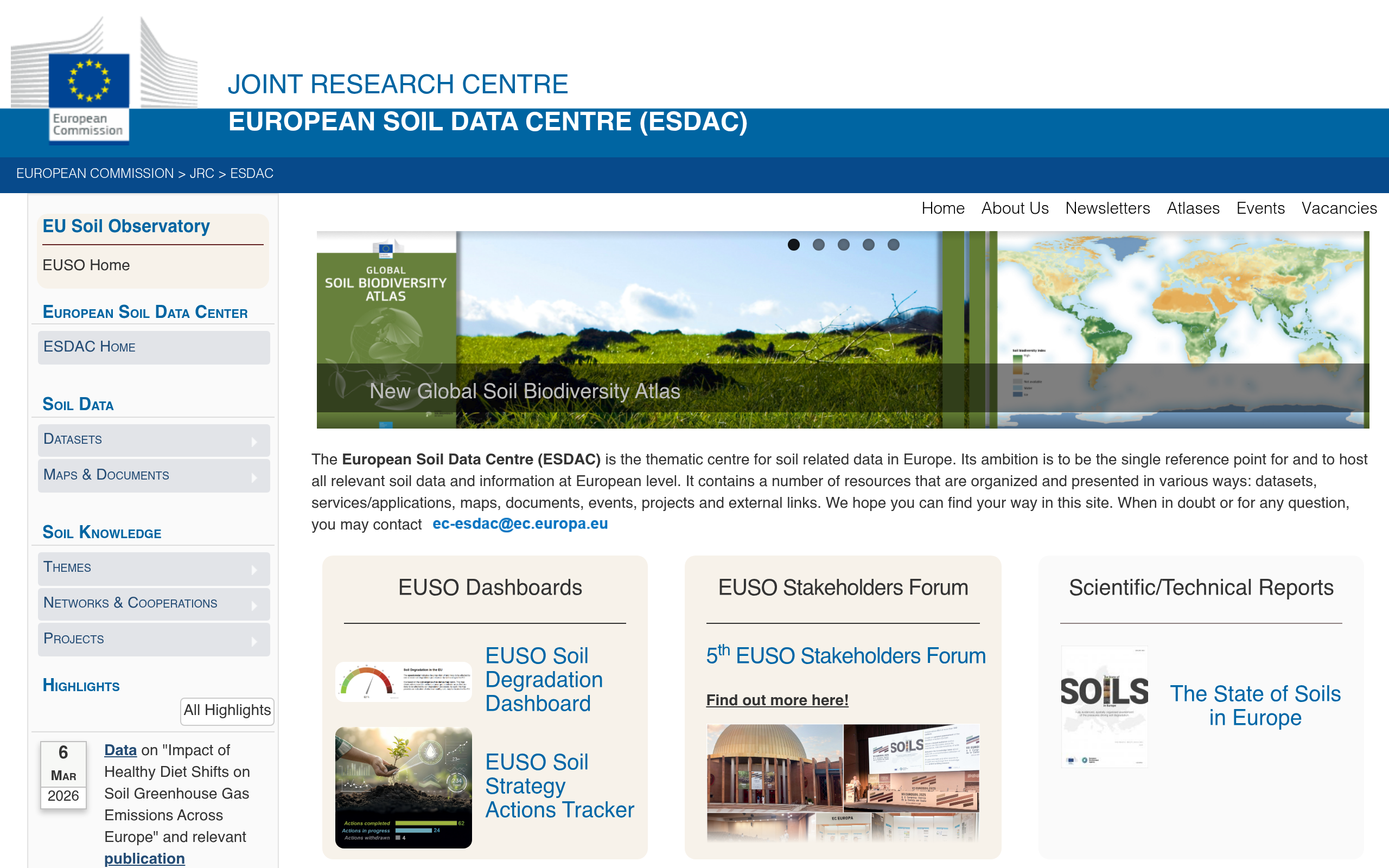
European Soil Data Centre (ESDAC)
JRCEuropean soil data including erosion risk, organic carbon, compaction and contamination
AgricultureEuropeFree
ROSYS (Rohstoffinformationssystem)
Deutsche RohstoffagenturInformation on mineral and energy raw materials, raw material situation in Germany and prices
AgricultureGermanyFree
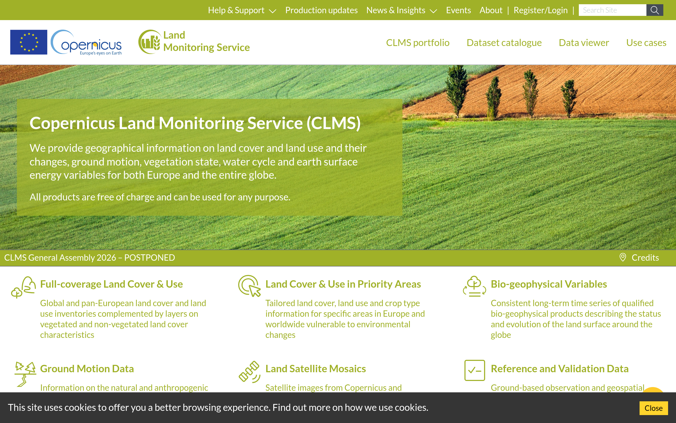
Copernicus Land Monitoring Service
EEA / CopernicusNDVI, CORINE land cover, soil moisture and vegetation phenology at 10m-1km resolution
GeospatialEuropeGlobalFree
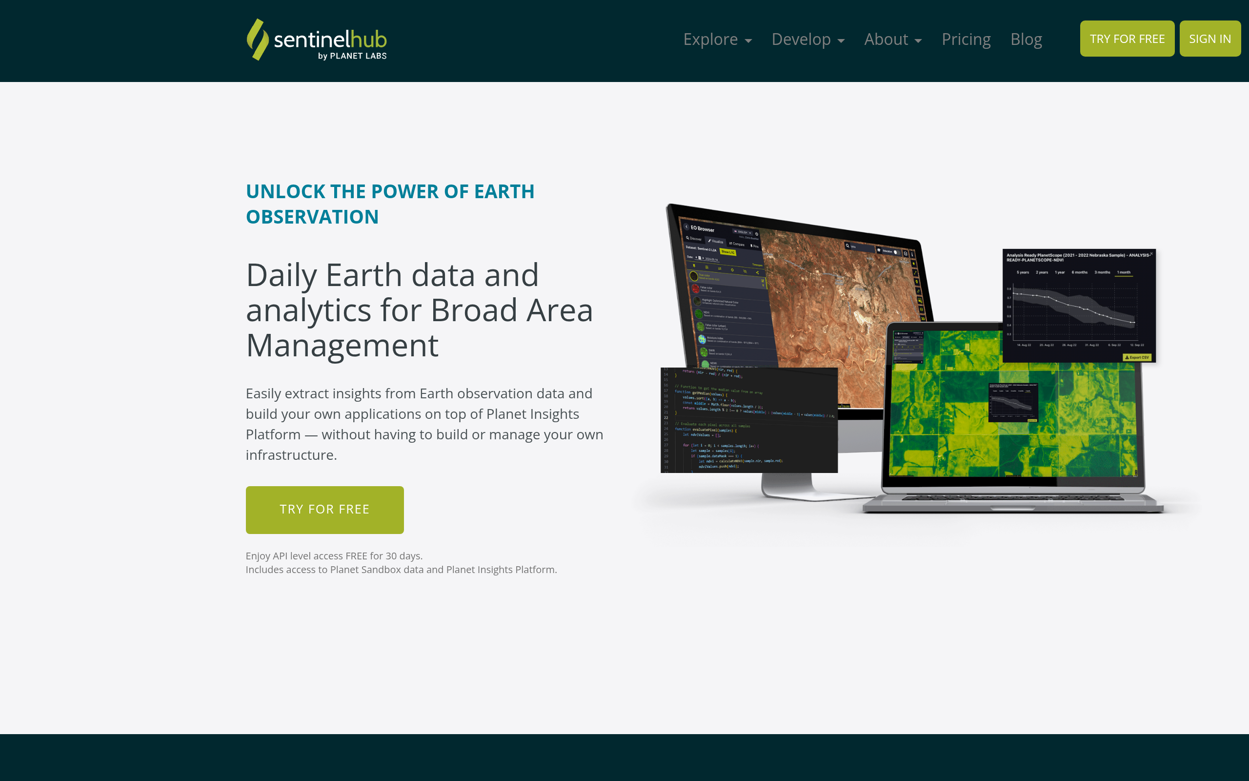
Sentinel Hub
Planet LabsCloud-based EO data processing with Sentinel, Landsat, PlanetScope and Maxar data via REST API
GeospatialGlobalFreemium
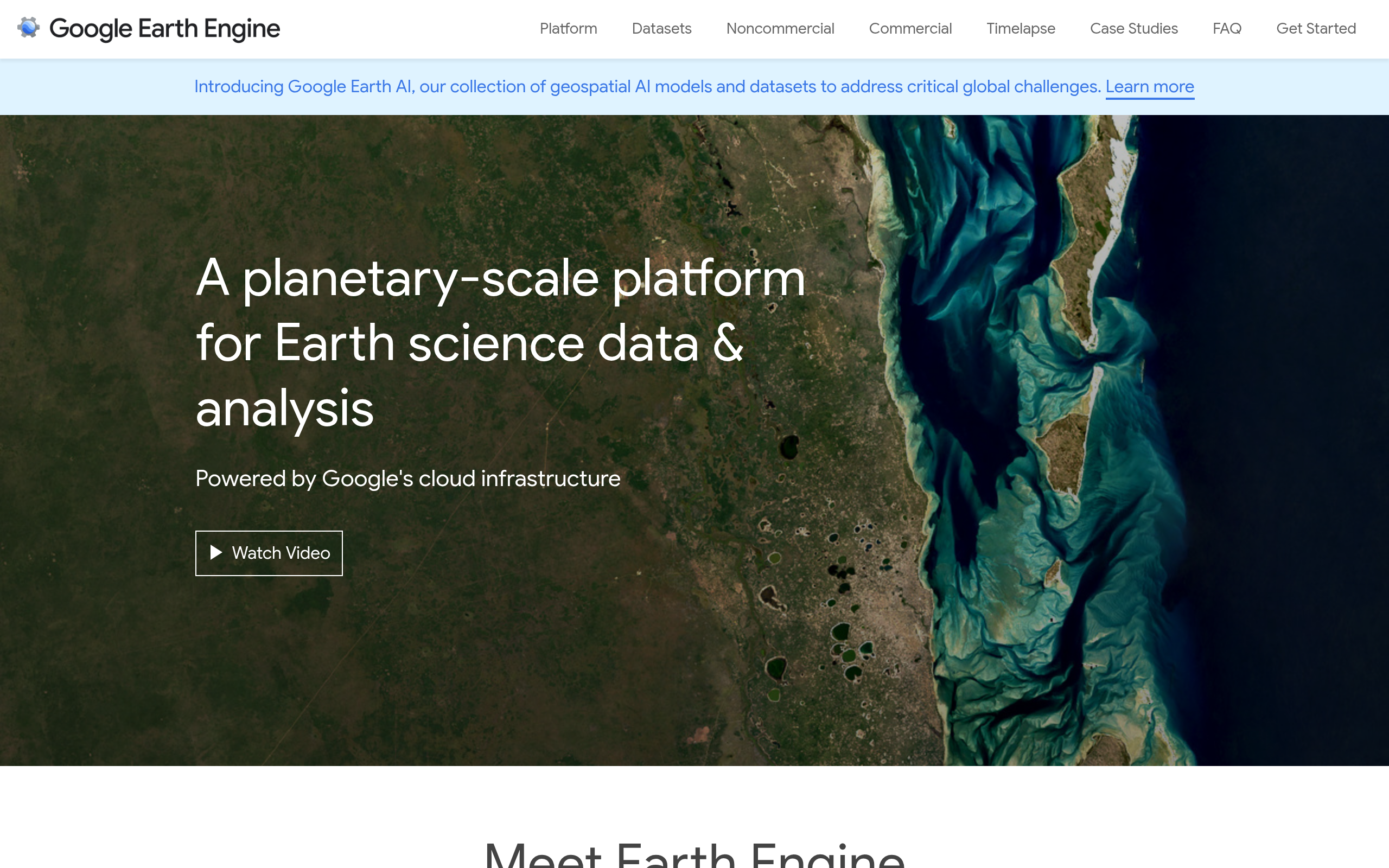
Google Earth Engine
GooglePlanetary-scale geospatial analysis with 50+ petabytes of Earth observation data. Free for research
GeospatialGlobalFree

NASA Worldview
NASABrowse 1000+ satellite imagery layers (MODIS, VIIRS, Landsat) updated within 3 hours of acquisition
GeospatialGlobalFree
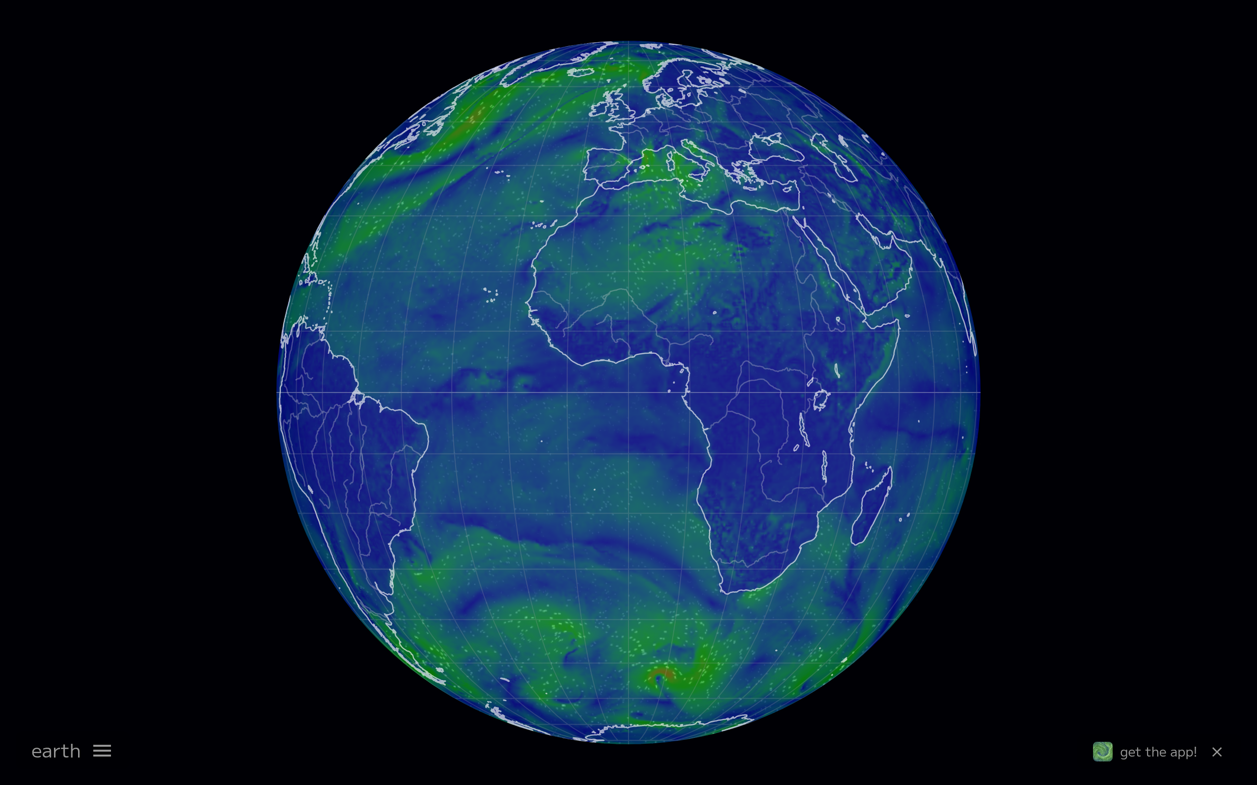
Earth.nullschool.net
Cameron BeccarioReal-time visualization of global atmospheric and ocean conditions including wind, temperature, humidity and CO2
GeospatialGlobalFree

WESR Climate
UNEPWorld Environment Situation Room: mapping drivers, pressures, states, impacts and responses to climate change
GeospatialGlobalFree
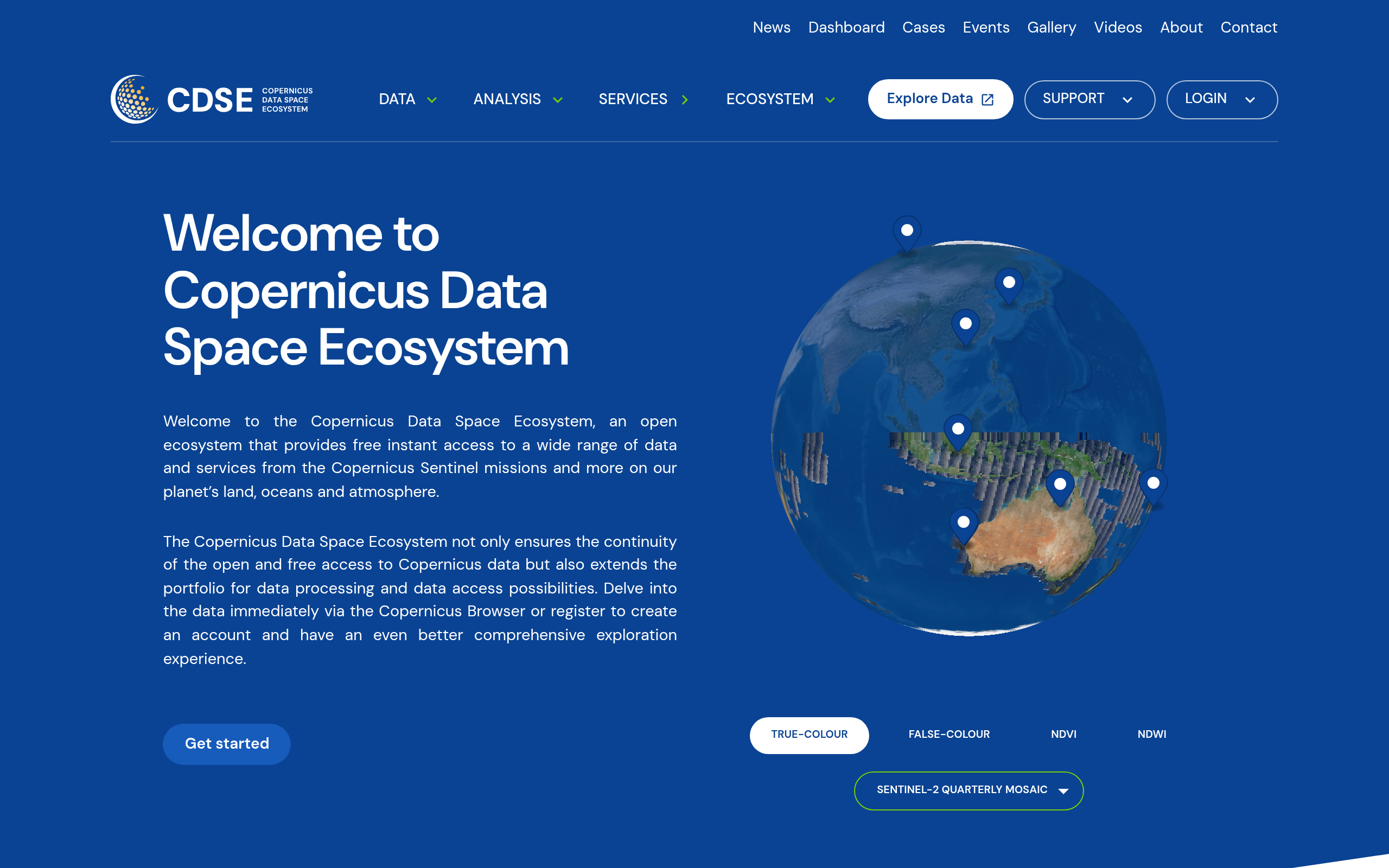
Copernicus Data Space Ecosystem
ESA / CopernicusUnified access to all Sentinel satellite data with browser and API
GeospatialGlobalFree

NASA Earthdata
NASAPortal for all NASA Earth observation datasets including MODIS, VIIRS, GRACE, SRTM and Landsat
GeospatialGlobalFree

EFFIS Wildfire Risk Viewer
JRC / CopernicusEuropean wildfire risk mapping with Canadian FWI system and near-real-time fire danger forecasts
WildfireEuropeFree

Global Wildfire Information System (GWIS)
JRC / UNCombines EFFIS and GFMC data for global-scale wildfire management support
WildfireGlobalFree

NASA FIRMS (Active Fire Data)
NASANear-real-time fire detection from VIIRS and MODIS satellites used by emergency responders globally
WildfireGlobalFree

NOAA Sea Level Rise Viewer
NOAAVisualize coastal flooding scenarios from 1 to 10 feet of sea level rise along US coastlines
CoastalUsaFree

NASA Sea Level Change Portal
NASAComprehensive sea level data including satellite altimetry, GRACE groundwater and tide gauge records
CoastalGlobalFree

ND-GAIN Country Index
University of Notre DameCountry-level vulnerability and readiness scores for 185 nations across food, water, health, ecosystem dimensions
SocioeconomicGlobalFree

UNDRR Sendai Monitor
UNDRRTrack global disaster risk reduction progress against Sendai Framework targets with country-level loss data
SocioeconomicGlobalFree

CDP Disclosure Platform
CDPClimate, water and forest risk disclosure data from 23,000+ companies and 1,100+ cities worldwide
StandardsGlobalFree

Transition Pathway Initiative
LSE Grantham / TPIFree tool assessing corporate climate transition alignment with Paris Agreement across 14 sectors
StandardsGlobalFree
Climate TRACE
Climate TRACE CoalitionAI-powered inventory tracking GHG emissions from 352M+ assets using satellite imagery and ML
Climate RiskGlobalFree
Climate Watch
WRIOpen data platform with 150+ years of country-level GHG emissions, NDC commitments and net-zero targets
Climate RiskGlobalFree
Climate Action Tracker
Climate Analytics + NewClimate InstituteIndependent scientific platform rating country climate pledges and policies against the 1.5C Paris pathway
Climate RiskGlobalFree
Trase
SEI + Global CanopyMaps global agricultural commodity supply chains quantifying deforestation risk from production to import
AgricultureGlobalFree
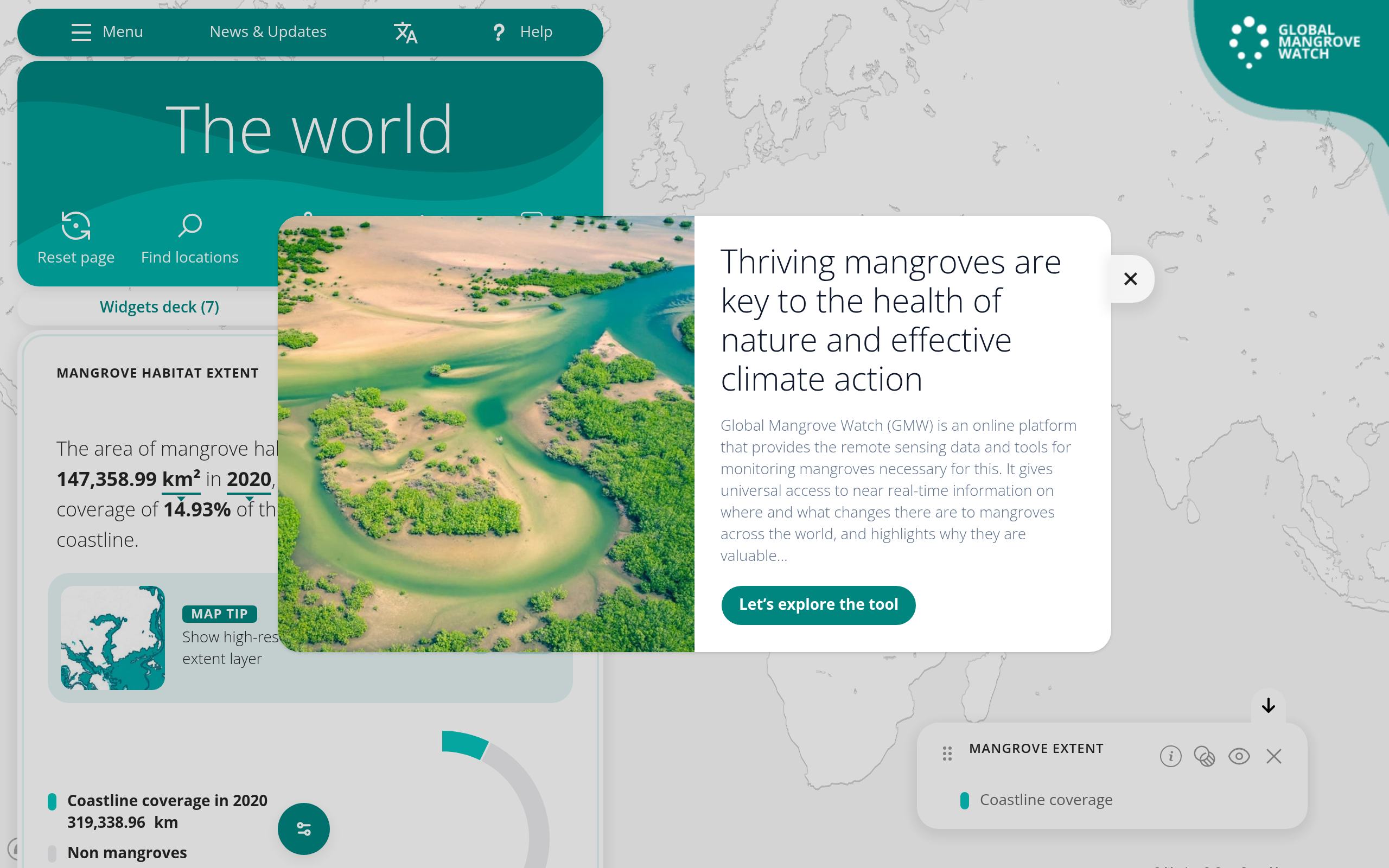
Global Mangrove Watch
JAXA / TNC / Wetlands InternationalNear-real-time satellite monitoring of global mangrove extent, change, canopy height and soil carbon since 1996
BiodiversityGlobalFree

Global Fishing Watch
Global Fishing WatchFree platform monitoring fishing vessel activity across 70M+ km2 of ocean using AIS data, satellites and AI
BiodiversityGlobalFreemium
INFORM Risk Index
EC JRCGlobal composite index assessing humanitarian crisis and disaster risk for 191 countries across 80+ indicators
SocioeconomicGlobalFree
1.5C National Pathway Explorer
Climate AnalyticsDownscales IPCC AR6-compatible 1.5C global pathways to national and sector level for each country
Climate RiskGlobalFree
WBCSD Nature Action Portal
WBCSDSector-specific tool helping companies identify nature-related metrics and actions aligned with TNFD and SBTN
StandardsGlobalFree
Global Carbon Budget
Global Carbon ProjectDefinitive annual accounting of the global carbon cycle — CO2 sources, sinks, and budget exhaustion from 1750 to present
Climate RiskGlobalFree